These following photos of the airfield were found on Google Earth's photo layer, and elsewhere on the web. Some of these are from before Operation Greeley / MacArthur. Photo ownership is shown when possible.
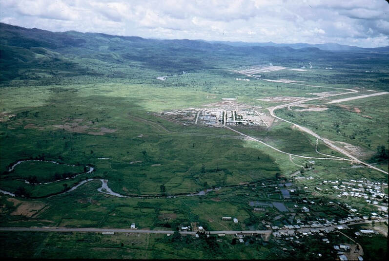
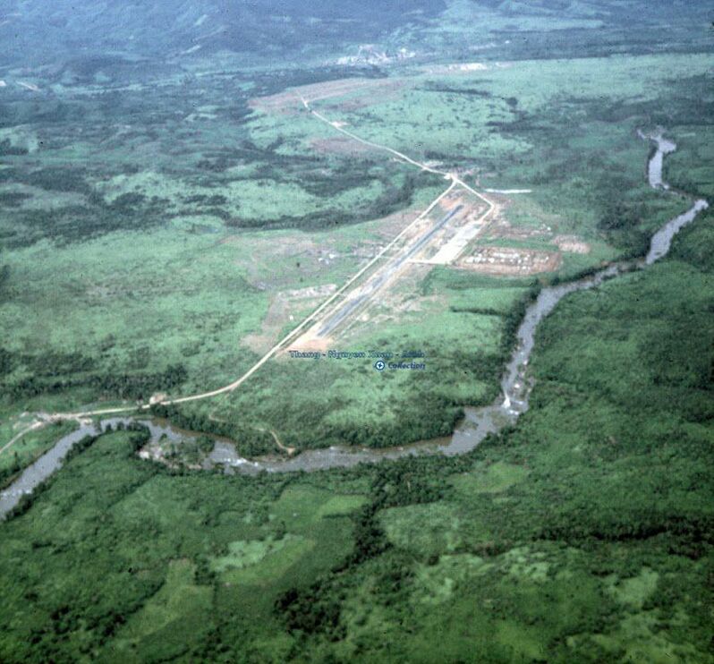
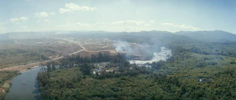
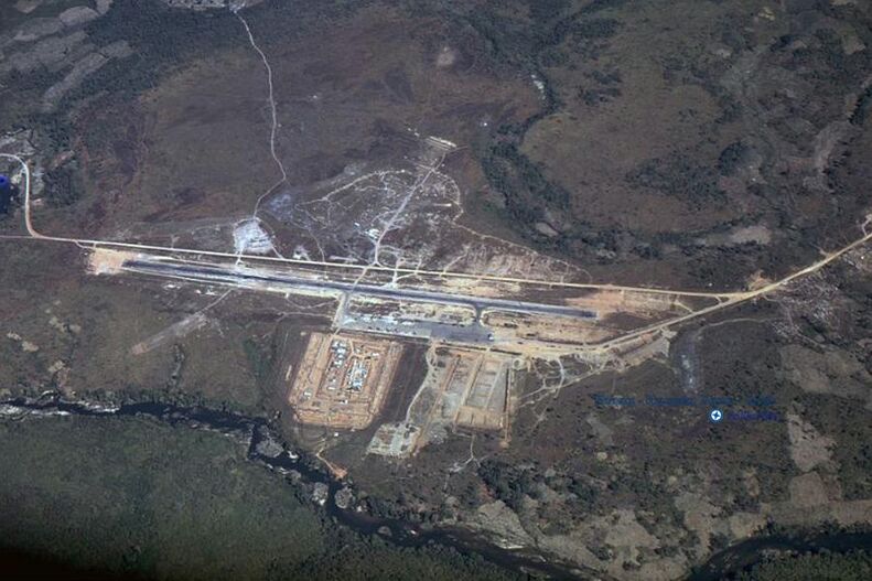
Over Tan Canh, looking west toward Dak To 1 airfield (on top-right edge of photo) and Dak To 2 airfield (in the distance at top of photo) in 1971.
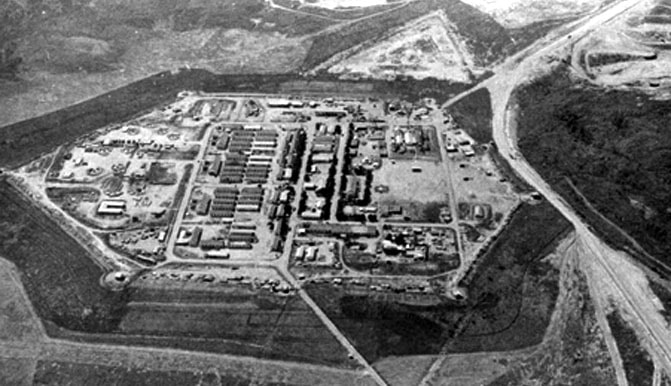
In the top center is the ARVN compound.
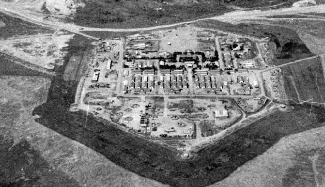
In the top center is the ARVN compound.
Two more images of the ARVN compound. Photos copied from the BattleOfKontum website.
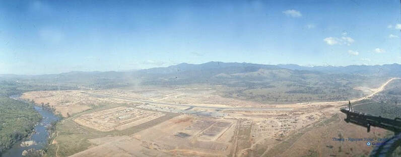
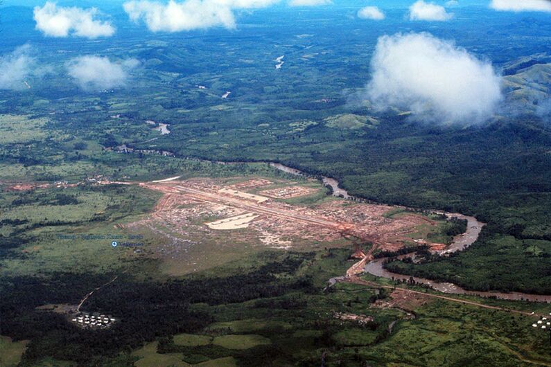
Nguyen Xuan - Approaching Dak To 2 airfield. Looking west-northwest.
Nguyen Xuan / Will Miller 1966-1967 - Dak To Airfield, looking east. Notice Dak To 1 airstrip at top road dogleg.
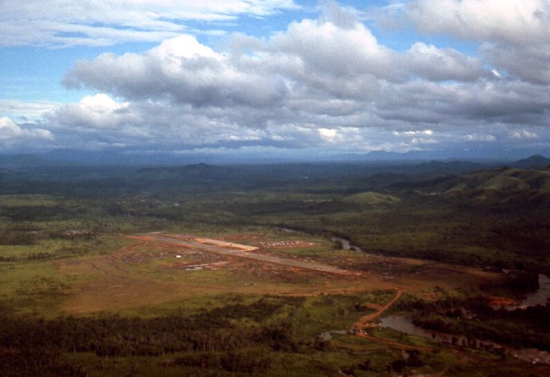
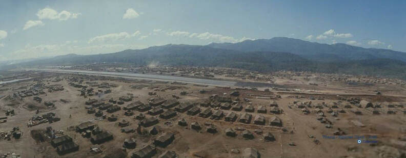
Nguyen Xuan - Dak To Airfield, looking southeast.
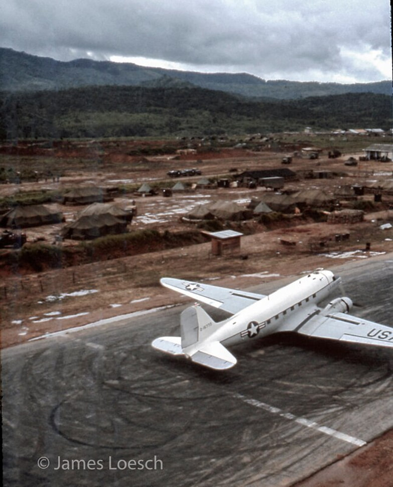
James Loesch - Dak To Airfield - 1967, looking southeast.
Nguyen Xuan - Dak To Airfield, approaching runway 10, heading East.
Will Miller - Dak To 1966-1967
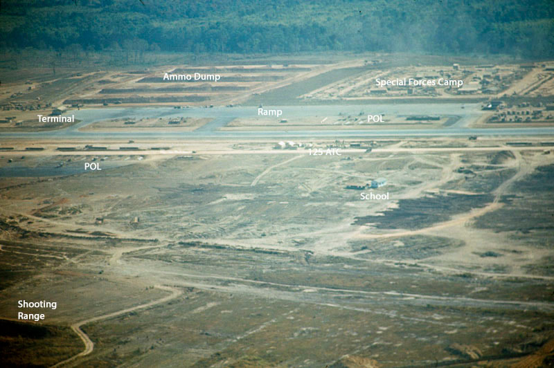
Nguyen Xuan / Will Miller - Dak To airfield. Looking south toward Hill 1338.
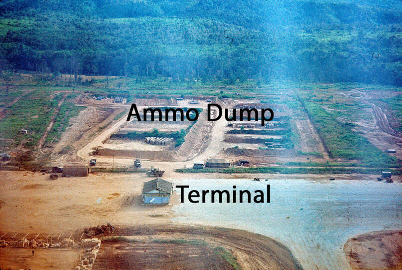
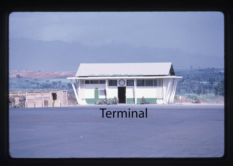
Dak To - Late summer 1967 335th AHC Cowboys - Gunship Crew Chief Ship #12930 I took the image as we hovered over the east end of the Dak To strip to our revetments on the north side after refueling. I have seen this image many times over the years because it is in a folder I use as screen saver files. I am always surprised at how casual our flying was, hovering 75 feet above a DC-3 preparing for takeoff. James Loesch March 23, 2022 note: Notice the Terminal at top-right of photo. Photo from Facebook "Central Highlands Veterans" group. |
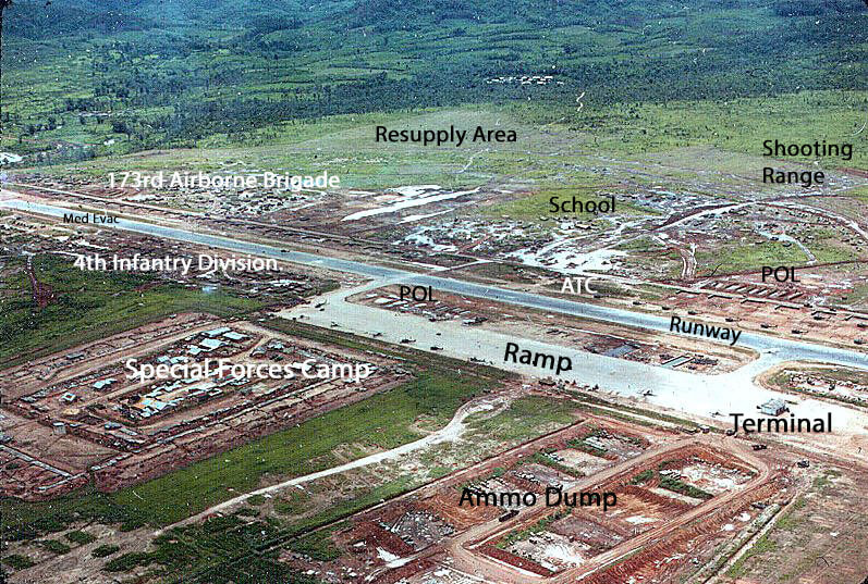
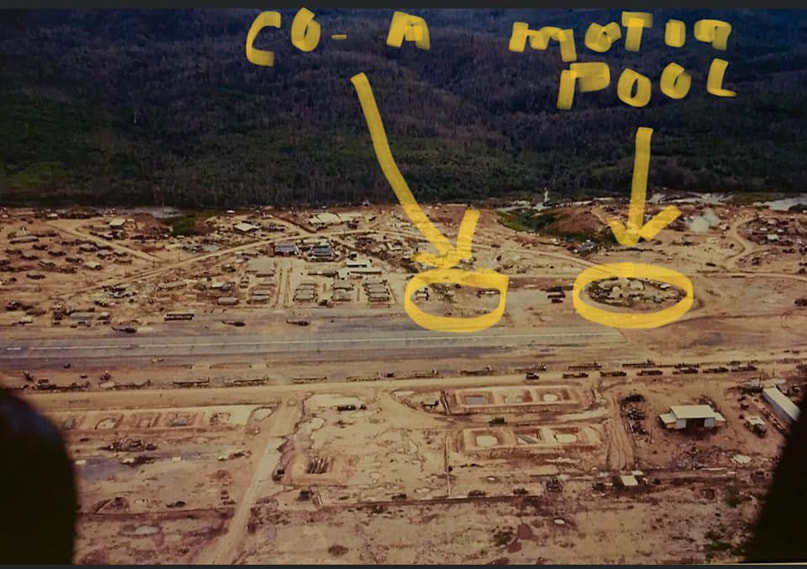
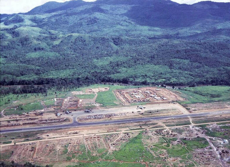
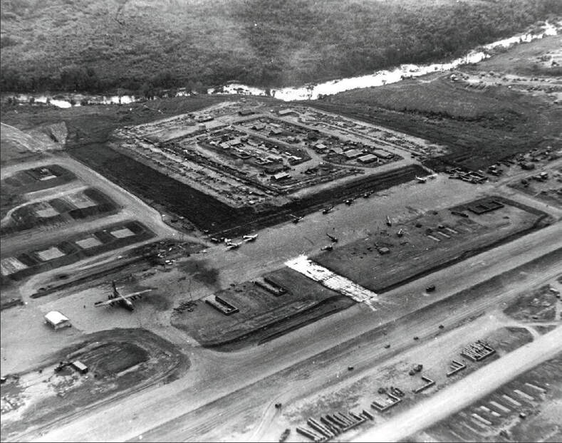
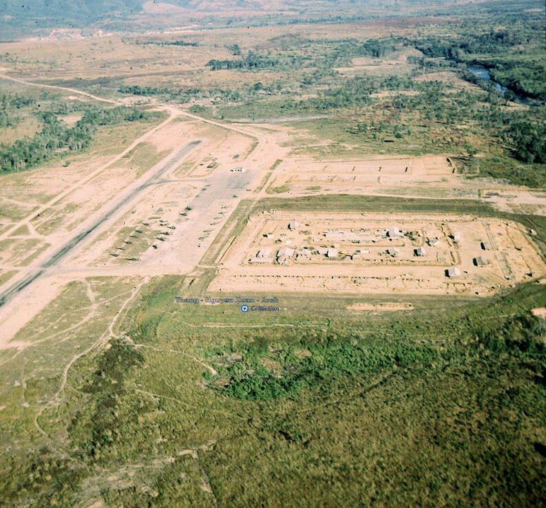
Special Forces camp, ramp (showing new center taxiway), runway, revetments. Looking southwest.
Nguyen Xuan / Will Miller 1966-1967 - calls the airfield "Phoenix". Must be from a previous operation (Hawthorne?)
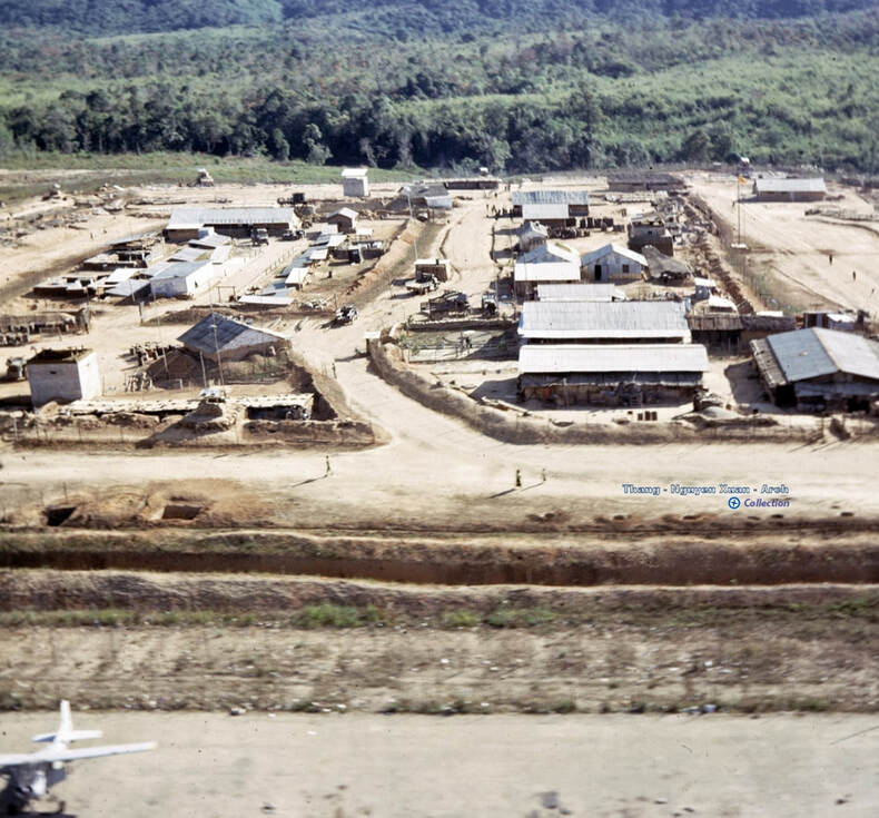
Nguyen Xuan / Will Miller 1966-1967 - Special Forces A camp, looking east. Notice the airport terminal building, top-left of photo.
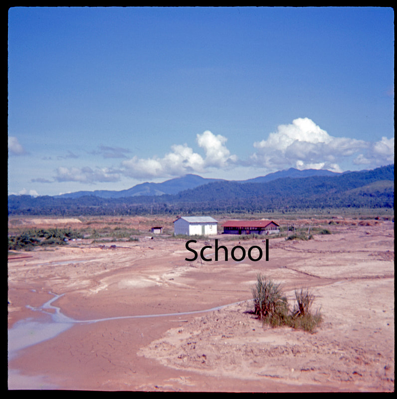
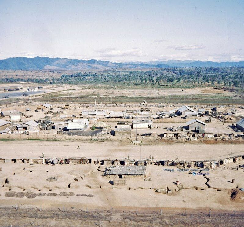
Nguyen Xuan / Will Miller 1966-1967 - Special Forces A camp, looking north, towards the runway. Notice the school building at top.
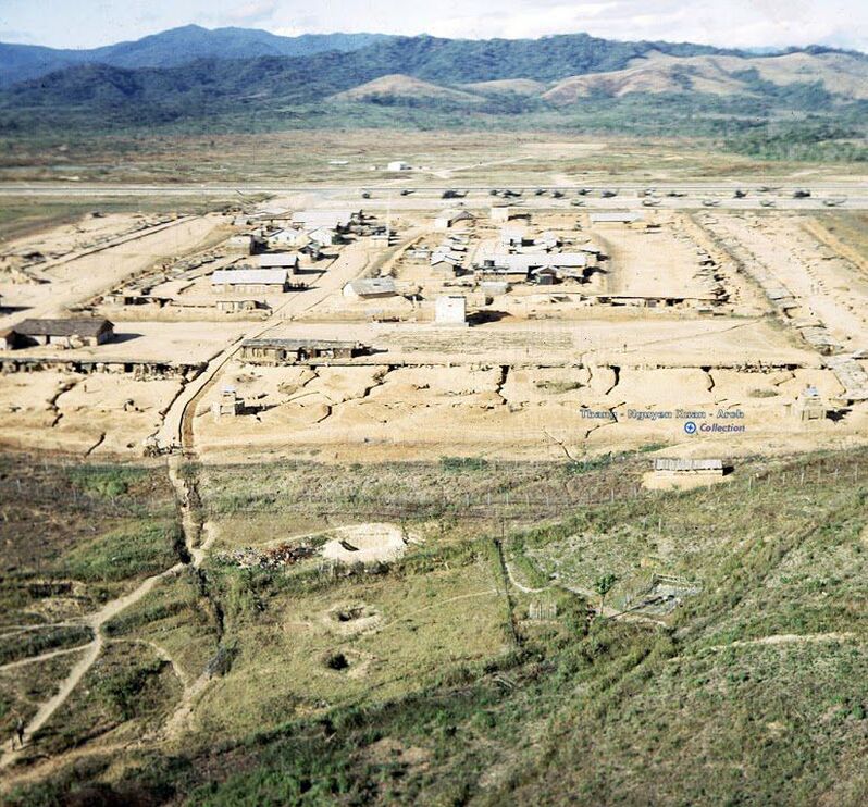
Nguyen Xuan / Will Miller 1666-1967 - Special Forces A camp, looking south toward the river.
Nguyen Xuan - Special Forces A camp. Looking south toward the river.
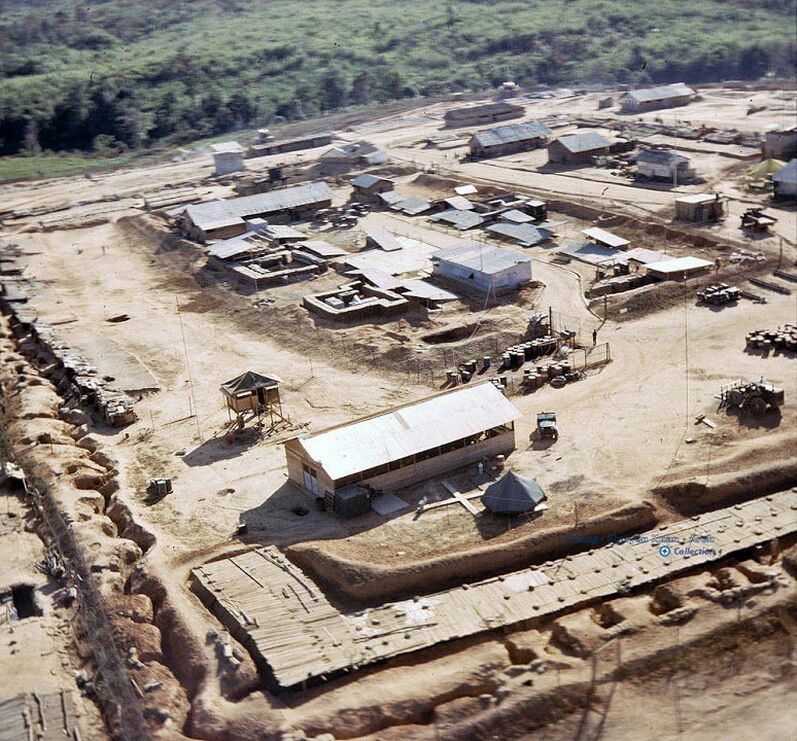
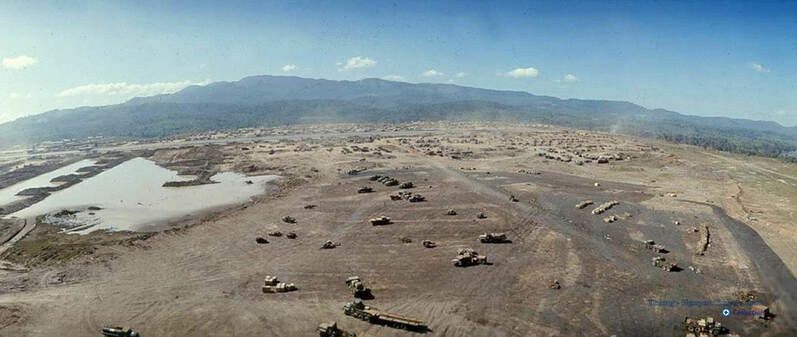
Nguyen Xuan / Will Miller 1966-1967 - northwest corner of the runway, 173rd Airborne Brigade area. Looking south.
Nguyen Xuan? - Resupply Area - north-west corner of airfield. Looking south toward 173rd area and runway.
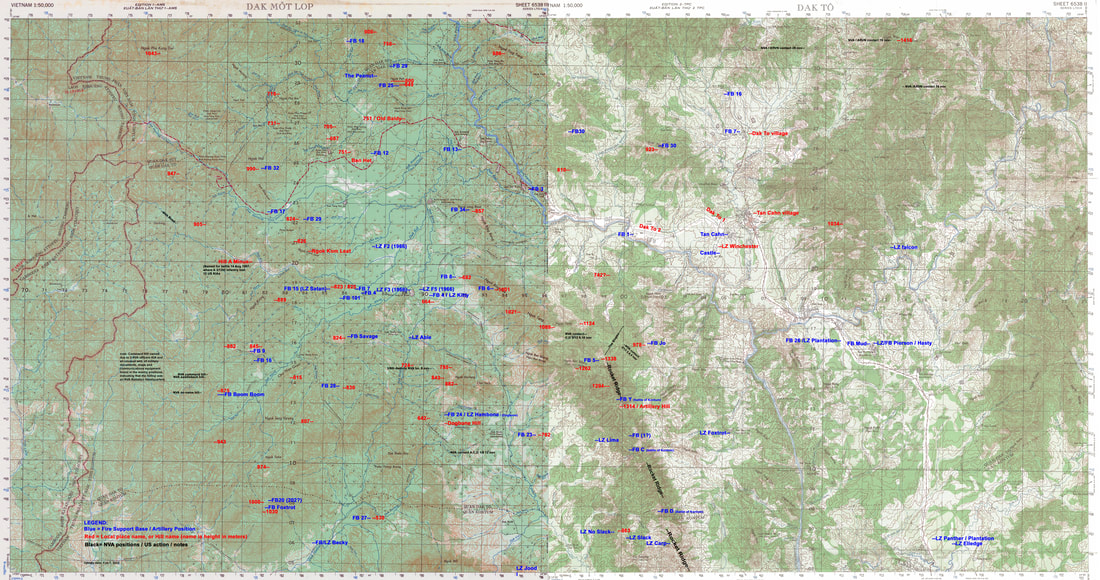
This topographical map shows the area around Dak To.
Hills are shown in red, fire support bases are shown in blue and NVA / US action in black.
Fire Base info was found on the 1/92 Field Artillery Assn. website
and in the book "The Battle of Dak-To" by Robert Quinn,
and on a list of all locations in Vietnam, put together by Snuffy Smith and others.
Click Here to view the map in a much higher resolution, where you can see all the detail.
Finding a location on this website's area map.
There are many documents on this website that refer to map coordinates. These are location identifiers using a military map coordinate system.
Location identifiers consist of two letters and six numbers, as in ZB041215. You can disregard the first two letters for our purposes here.
The first 3 numbers determine left-right position. On the map, you will see the vertical grid lines numbered at the top and bottom of the map, as well as half-way down the map. The numbers go from 70 at the left to 99, then 00 to 22. (the left edge is 69, the right edge is 23)
In the example, ZB041215, the first 3 numbers are 041. The first two numbers point to the vertical line on the map - 04. The third number is the distance between 04 and 05, in this case 1/10 of the distance.
The last 3 numbers work the same way, but for the up-down position. On the map you will see the horizontal grid lines numbered at the left and right sides of the map, as well as in the middle of the left and right halves. The numbers go from 05 at the bottom to 32 at the top.
In the example, ZB041215, the last 3 numbers are 215. The first two numbers point to the horizontal line on the map - 21. The third number is the distance between 21 and 22, in this case 5/10 or 1/2 of the distance.
If you try to find this location on the map, you'll see that it is right under the two dashes in "Tan Cahn--"
----------------------------------------------
Note: To view this map in Google Earth, desktop, go to the Links page, Google Earth section.
---------------------------------------------------------------------------------------------------------------------------
Since Snuffy Smith's list has more information than I have put on the map, I've extracted those locations
on Snuffy's list that are on the map. To view that abbreviated list and try to find locations yourself, Click Here
If you want to see the complete list, Click Here
----------------------------------------------------------------------------------------------------------------------------
Here is another list of locations around Dak To. This one was put together by Bill Kindred and others. This list includes lat/long coordinates in addition to military map coordinates. If you use Google Earth or other mapping application, you may be able to locate sites easier with lat/long.
Like Snuffy Smith's list, Bill's includes all of Vietnam. I've extracted only those entries for Dak To. Click Here
If you want to see the complete list, Click Here
-----------------------------------------------------------------------------------------------------------------------------
I'm asking for your help: In using several different sources to identify landmarks in the Dak To area, there was bound to be some discrepancies and errors. For example, after adding landmarks to the map I see that there are multiple sites with the same name, and some locations given for sites do not seem to be correct.
Your help: If you find an error on the map, or if you have a landmark that should be included on the map, please let me know. Also, if you find an error on the lists from Snuffy Smith or Bill Kindred, let me know about that too, so I can make corrections.
================================================================================================
No comments:
Post a Comment